Finger Lakes Trail
Pennsylvania
Free — you'll pick up right here.
387.6 mi
Distance
No verdict for this trail
We won't guess. Here is exactly what we do and don't know.
What we do know
Inside Allegheny National Forest
2 managing-area boundaries mapped — agency alerts for them feed this page automatically.
Boundary data
What's missing
No access route mapped
We don't yet know which road reaches this trailhead, so we can't tell you if it's gated.
Nobody's filed a report here yet — be the first.
Why you'll love it
Here's your day, mapped
Finger Lakes Trail
Suggested plan · check conditions before you go
Meals
Gear for the day
Elevation & route
- Distance
- 387.6 mi
- Highest point
- 2,327 ft
- Lowest point
- 430 ft
Photos
Directions & GPX
Permits & access
- Managing agency
- State Park and Recreation
About this trail
The Finger Lakes Trail is an extensive point-to-point hiking route spanning nearly 388 miles across Pennsylvania, offering long-distance backpackers a challenging multi-day adventure through diverse terrain and landscapes. This trail traverses the heart of Pennsylvania's natural regions, connecting remote woodlands, valleys, and ridgelines while providing access to the state's varied ecosystems and geological features. The sheer distance and commitment required make this a premier destination for experienced hikers seeking an immersive wilderness experience.
Add to a trip & share
Keep exploring — more trails worth the drive
 Photo: Ryan Hallock, CC BY 2.0 (via Flickr)
Flagg Trail
~6 min drive
1.31-mile point-to-point trail in New York with 636 ft elevation gain
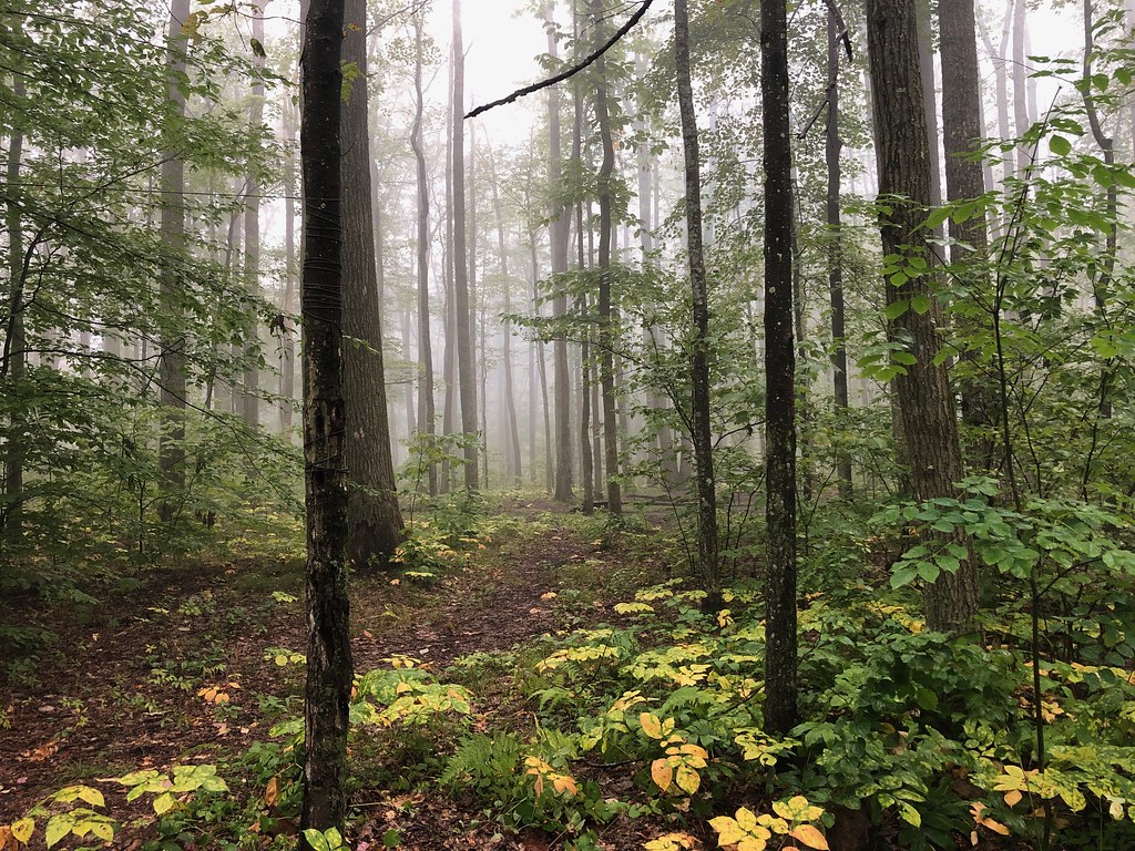 Photo: daveynin, CC BY 2.0 (via Flickr)
Gowango
~7 min drive
3.15-mile out-and-back trail in Pennsylvania with 1,048 ft of elevation gain.
 Photo: javajoe6, CC BY-SA 3.0 (via Wikimedia Commons)
Finger Lakes Trail
~17 min drive
53.10-mile point-to-point trail in New York with 6,772 ft of elevation gain
Robert Frost Interpretive - New York
~10 min drive
A challenging 42.56-mile point-to-point backcountry trail through Pennsylvania wilderness.
Jrembt - Laurel
~18 min drive
4.66-mile out-and-back trail in Pennsylvania with 251 ft gain.
 Photo: javajoe6, CC BY-SA 3.0 (via Wikimedia Commons)
Eastwood Meadows Trail
~13 min drive
1.67-mile loop in New York with 347 ft gain and 2,339 ft max elevation.
 Photo: Andy Arthur on Flickr, CC BY 2.0 (via Wikimedia Commons)
Jrembt - Seneca
~18 min drive
3.00-mile out-and-back trail in Pennsylvania with moderate difficulty.
Bullis Hollow
~10 min drive
An 8.39-mile moderate out-and-back trail in Pennsylvania with single-track, unimproved surfaces and connections to the North Country Trail network.
Kinzua Connector
~20 min drive
3.84-mile out-and-back trail in Pennsylvania with 364 ft elevation gain.
Photo: Andy Arthur on Flickr, CC BY 2.0 (via Wikimedia Commons)Jrembt - Blacksnake
~18 min drive
Easy 1.35-mile out-and-back trail in Pennsylvania.
